

Public travel plan
A Two-Day Landscape Road Trip Across the Isle of Skye
This is a fast, landscape-focused road trip built directly from the named stops and experiences described. Expect frequent rain, strong wind, narrow one-lane roads, and slower driving than map estimates suggest. Bring w…

Source videos
Travel inspiration behind this plan
Plan notes
Useful context before you go
This is a fast, landscape-focused road trip built directly from the named stops and experiences described. Expect frequent rain, strong wind, narrow one-lane roads, and slower driving than map estimates suggest. Bring waterproof layers and footwear suitable for wet hiking. The northern route can be completed in roughly 48 hours, but the source recommends two or three full days for deeper exploration. Only specifically identifiable locations are included; unnamed farms, bridges, coffee shops, waterfalls, and accommodation are intentionally not converted into map pins.
Itinerary highlights
What is in this plan
Day 1 — Inverness to Portree and Uig
Allow around three hours from Inverness before adding stops. The route is especially weather-dependent, so use the named stops as flexible windows rather than rigid arrival times. The drive includes narrow roads and changing rain conditions.
-
Eilean Donan CastleEilean Donan Castle, Dornie, Scotland
Use this as the principal first stop on the journey from Inverness. The castle was closed during the visit, so the experience centered on viewing it from the nearby lookout rather than entering.
-
Eilean Donan CastleEilean Donan Castle, Dornie, Scotland
When the castle interior is unavailable, use the lookout described along the cliff fence for an elevated view toward the castle and the visible film set. Treat this as an exterior viewpoint rather than an entrance visit.
-
PortreePortree, Isle of Skye, Scotland
Make a short town stop before continuing north. The town is described as one of the main settlements on Skye and works as a practical pause during the drive.
-
UigUig, Isle of Skye, Scotland
Continue to Uig, the northern base used for the stay. The accommodation is described as overlooking the sea, but its specific name is not provided, so no accommodation pin is invented here.
Day 2 — Old Man of Storr and Fairy Glen
This is the high-density hiking day. Start with the Old Man of Storr, then continue toward Fairy Glen near Uig. Paid parking is specifically noted at the Old Man of Storr trailhead, and weather can change quickly with powerful wind and low cloud.
-
Old Man of Storr TrailheadOld Man of Storr Trailhead, Isle of Skye, Scotland
Begin the day at the Old Man of Storr trailhead. The parking machine described charged £5 for a minimum six-hour period, and toilets are available on site. RVs and campervans must park along the road rather than in the main lot.
-
Old Man of StorrOld Man of Storr, Isle of Skye, Scotland
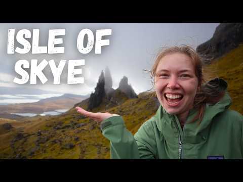
Allow just over two hours for the hike and approximately 5.5 km. Strong wind, cold, rain, and low cloud are possible, but the changing light can dramatically illuminate the dark rock formations. The landscape is associated with local giant legends and the formations were created by a landslide.
-
Fairy GlenFairy Glen, Balnacnoc, Isle of Skye, Scotland
Drive the narrow road to Fairy Glen near Uig. It is described as a classic northern Scotland single-track road carrying traffic in both directions, so allow extra time and drive cautiously.
-
Fairy GlenFairy Glen, Balnacnoc, Isle of Skye, Scotland
Walk around Fairy Glen as the final named landscape stop near the Uig base. Keep the visit flexible because the route and paths can be wet, and the source treats the stop as a short hike rather than a full-day excursion.